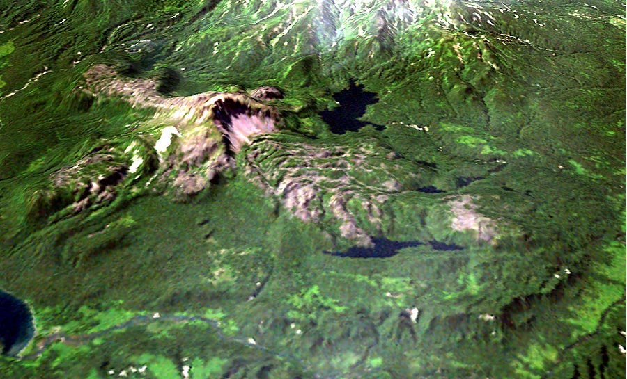
Dikii Greben'
 |
|
Dikii Greben' |
|
|
|
Dikii Greben' volcano looking southwest. Northern debris avalanche deposit, formed during the last eruption of the volcano ~1600 yr BP, is at the right. Thick lava flow of the same eruption is at the far left. Kurile Lake is in the low left corner, where it drains into the Ozernaia River. Landsat 7 image of Dikii Greben' volcano draped over a digital elevation model. Processed by Dmitry Melnikov.
|